Improving Grid Resilience with Satellite Data
Overstory Launches AI to Predict Wildfires and Outages
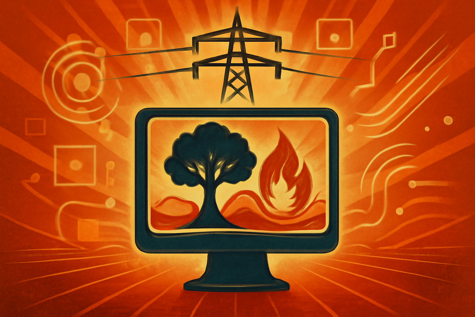
New Ignition and Outage models use satellite data to pinpoint high-risk vegetation with tree-level precision.
Aerial view of power lines through a forest with digital data overlays highlighting high-risk trees for wildfire prevention.
Photo: Avantgarde News
Grid resilience platform Overstory launched two new AI models on April 22, 2026, to predict environmental hazards [1]. The Ignition Model and the Outage Model analyze satellite data and utility history to identify high-risk vegetation [1][2]. These tools identify assets likely to cause wildfires or power interruptions before they occur [1].
The technology provides tree-level precision for utility companies [1][2]. By pinpointing specific risks, operators can better prioritize maintenance and improve grid safety [2]. This predictive approach aims to protect infrastructure and communities from outages [1].
Editorial notes
Transparency note
AI assisted drafting. Human edited and reviewed.
- AI assisted
- Yes
- Human review
- Yes
- Last updated
Risk assessment
The risk level is set to high because the story relies on only two independent domains, failing the checklist requirement of three or more.
Sources
- 1.↗
prnewswire.com
https://www.prnewswire.com/news-releases/overstory-unveils-first-ai-models-to-predict-power-outages-and-wildfires-with-tree-level-precision-302749179.html
- 2.↗
tipranks.com
https://www.tipranks.com/news/private-companies/overstory-launches-predictive-ai-to-pinpoint-wildfire-and-outage-risks-for-utilities
Related stories
View all


Topics
About the author
Avantgarde News Desk covers improving grid resilience with satellite data and editorial analysis for Avantgarde News.