Enhancing Carbon Credit Accuracy
AI and Satellites Transform Global Forest Monitoring
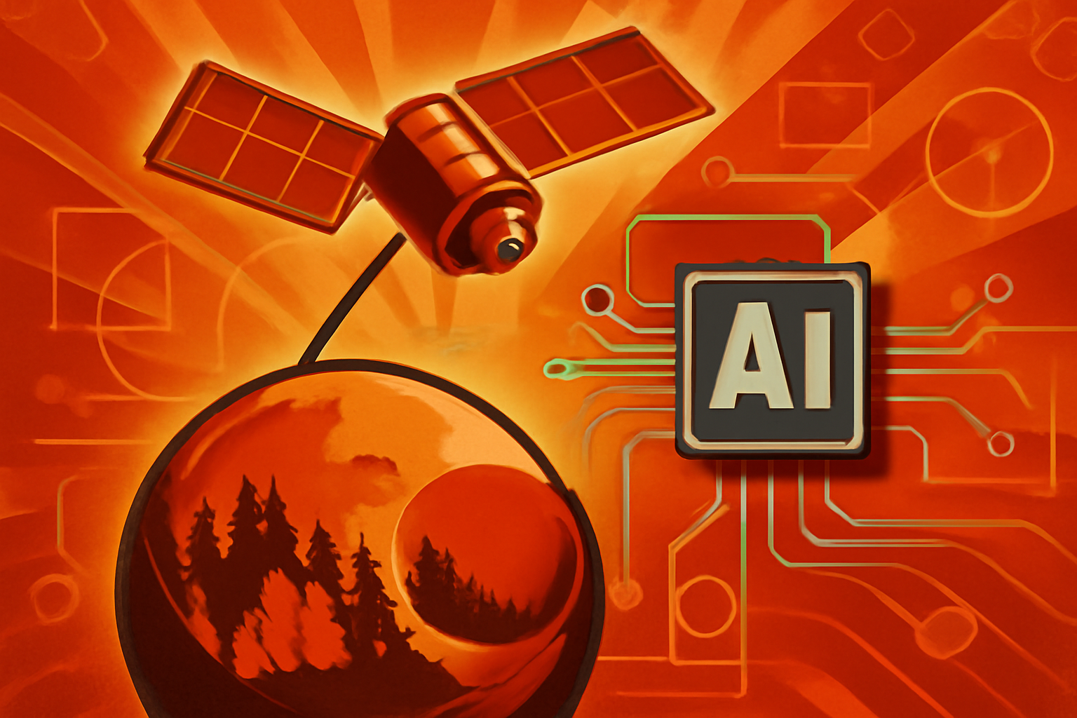
New real-time Earth observation tools combine satellite imagery with AI to track carbon and tropical degradation.
A satellite view of a green tropical rainforest with digital data overlays and highlights indicating AI monitoring of forest density and carbon levels.
Photo: Avantgarde News
New Earth observation technologies are combining high-resolution satellite imagery with artificial intelligence to track tropical forest degradation in real-time [1]. These tools provide critical data for global biodiversity efforts and help shape international conservation policies [1][2]. The integration of AI allows for the rapid processing of vast amounts of visual data captured from space [2].
This technology also revolutionizes how organizations monitor forest carbon levels [2]. By providing precise measurements of canopy changes, these systems offer more reliable metrics for international carbon credit markets [1]. Experts suggest these advancements will lead to greater transparency and accountability in environmental protection efforts worldwide [1][2].
Editorial notes
Transparency note
AI assisted drafting. Human edited and reviewed.
- AI assisted
- Yes
- Human review
- Yes
- Last updated
Risk assessment
The report relies on only two unique source domains, which is below the recommended threshold of three for high-confidence verification.
Sources
Related stories
View all


Topics
About the author
Avantgarde News Desk covers enhancing carbon credit accuracy and editorial analysis for Avantgarde News.